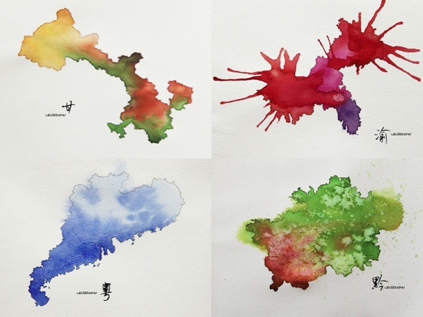
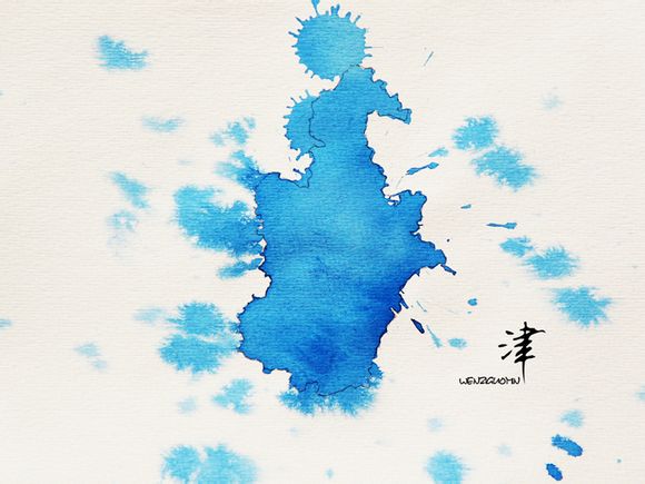
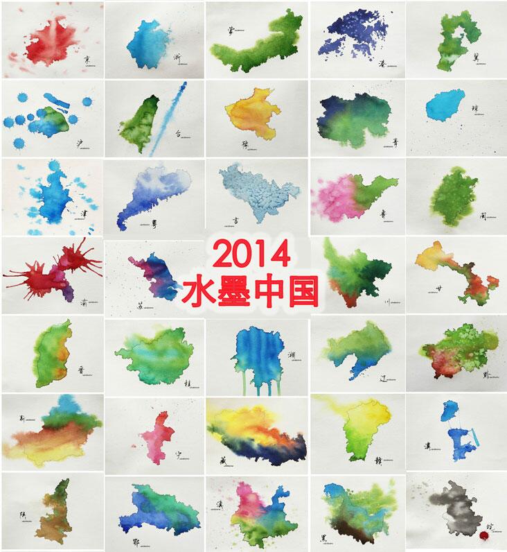
Here’s a map unlike any you’ve likely seen. A Chinese artist, using water and ink, has reimagined Chinese provinces as dually simple and abstruse classical paintings. As posted on the website Portal (Chuansongmen), these are hand-drawn outlines of provinces and special administrative regions that are then filled in with splashes of watercolor. We don’t quite know what to make of it — neither does Beyond Chinatown, which has translated the province names. Maybe that’s for the better: let these depictions defy easy classification.
Now it’s up to someone to put these provinces together like a jigsaw.
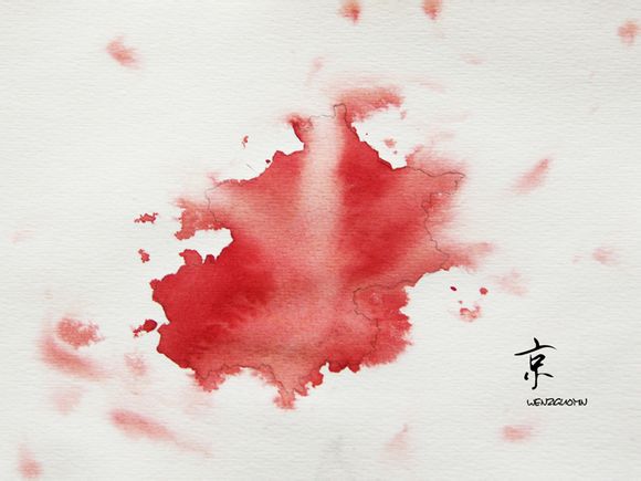
Here’s Beijing:
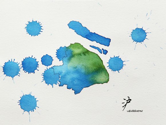
And Shanghai:
And Hong Kong:

And the armpit of Beijing, Tianjin:
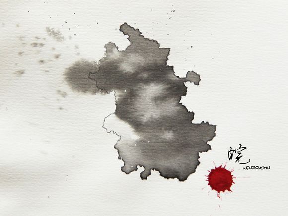
Our favorite is Anhui:
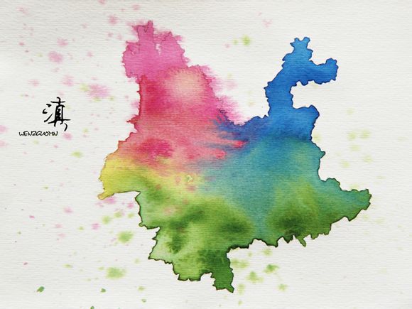
But Yunnan is certainly colorful, which makes sense considering the province’s diversity.
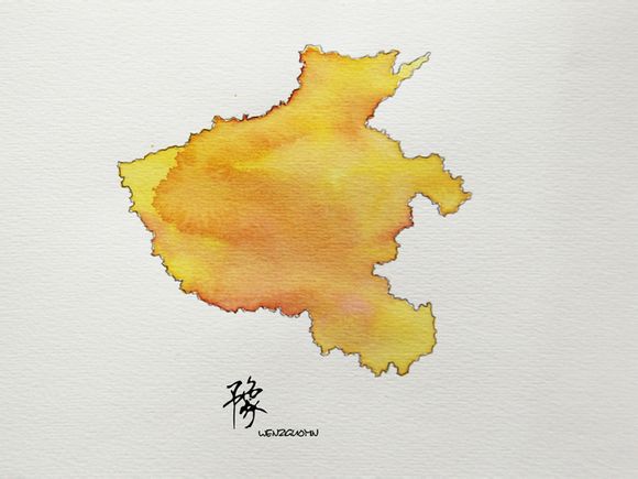
But Henan had to be a sandy splotch of yellow, didn’t it? Poor Henan:
More here. If you want to play a fun game, see how many of the provinces and regions you can identify below before clicking over to Chuansongmen for the answers:
(H/T Reddit)